Why Strava Is Becoming a Must-Have App for 2025
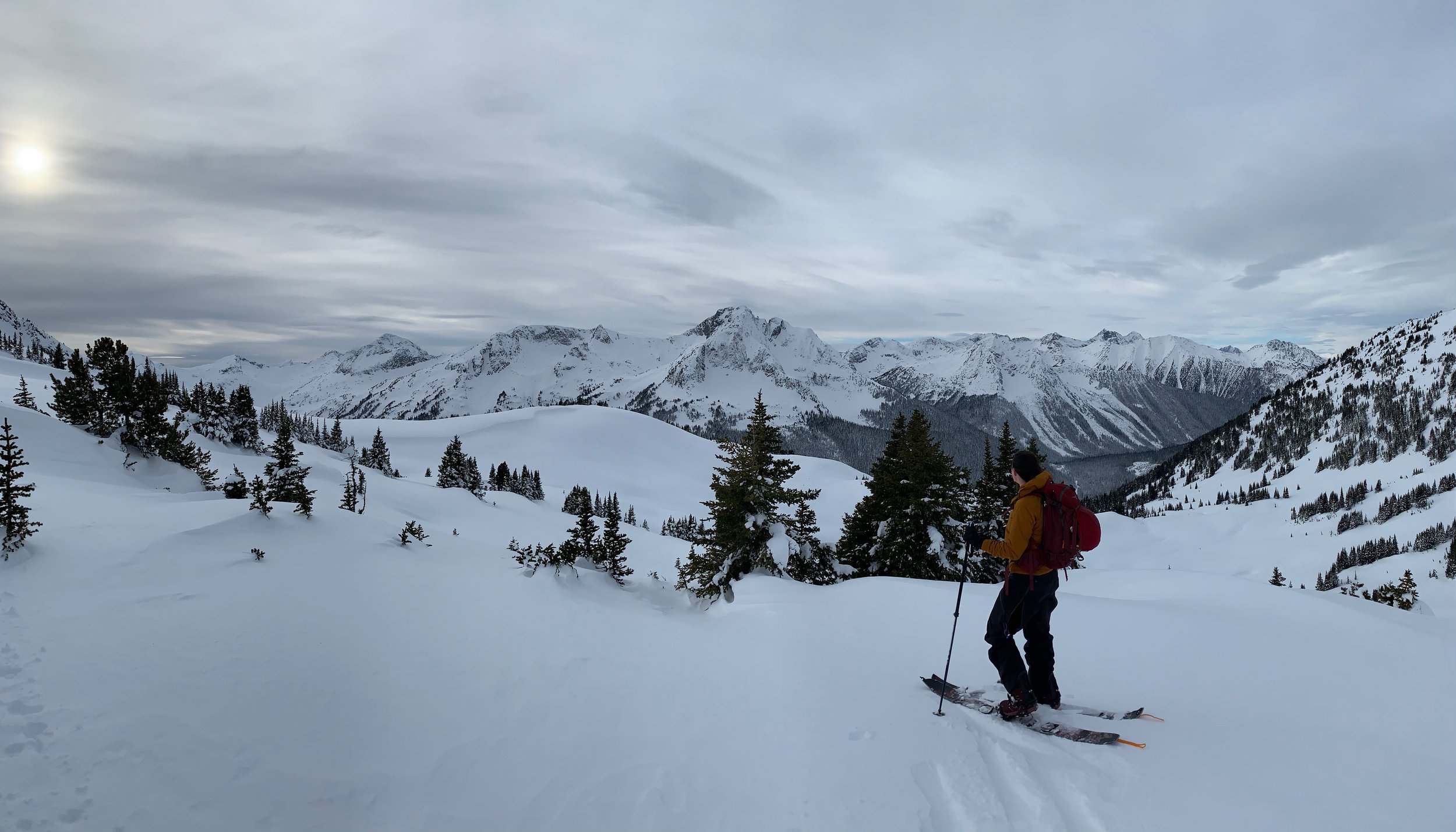
Strava has long been the go-to app for runners and cyclists to track workouts and compete on leaderboards. But with its acquisition of FATMAP in 2023 and a suite of new backcountry-focused upgrades, Strava is now evolving into something far more valuable: a critical safety tool for skiers, splitboarders, and mountaineers.
Here’s why Strava should be on every backcountry adventurer’s phone in 2025—and how to use its new features to stay safer in the mountains.
Strava’s Big Shift: From Fitness Tracking to Backcountry Safety
Strava’s purchase of FATMAP (the leading 3D mapping platform for outdoor sports) signaled a major move into the backcountry space. Now, with new avalanche terrain tools, slope angle overlays, and real-time route-sharing, Strava is no longer just about KOMs—it’s about saving lives.
Key Upgrades in 2025:
✔ Avalanche Terrain Ratings (based on slope angle & aspect)
✔ 3D Flyover for Route Planning (preview lines before you go)
✔ Group Safety Tracking (see your partners’ locations in real time)
✔ Snowpack & Weather Integrations (via OpenSnow & Avalanche Centers)
How Strava Improves Backcountry Safety
1. Avalanche Terrain Avoidance (Powered by FATMAP)
Slope angle shading (identify 30°+ zones)
Aspect-based risk overlays (south-facing = sun-affected, north-facing = persistent slabs)
"Safe Route" suggestions when planning tours
Why it matters: Most avalanche accidents happen on slopes between 30-45°—Strava now helps you spot them before you skin up.
2. Real-Time Group Tracking (New in 2025)
"Live Locations" for partners (like Garmin inReach, but no subscription needed)
Emergency check-ins (tap to notify your group if you’re stopping or need help)
Pro Tip: Great for ski mountaineering teams or groups spreading out on descents.
3. Crowdsourced Snow Conditions (Like a Mini Snocru)
See recent ski tracks (indicating where others have gone safely—or unsafely)
User-submitted snowpack notes (e.g., "Facets near ground on NE aspects")
Warning: Always verify conditions yourself—don’t blindly trust crowdsourced beta.
4. Post-Trip Analysis (Learn From Your Tours)
Review elevation gain, slope angles, and speed
Compare against avalanche reports to correlate terrain choices with danger
Example: After a close call, replay your route to see if you accidentally crossed a wind-loaded slope.

How to Use Strava for Backcountry Safety
Step 1: Enable FATMAP Mode
Go to Maps → Switch to 3D
Turn on "Avalanche Terrain" overlay
Step 2: Pre-Trip Planning
Plot your route and check for >30° slopes
Share the link with your group
Step 3: On the Mountain
Use Live Locations to keep track of partners
Drop snowpack pins with observations
Step 4: Post-Trip Review
Compare your track against avalanche forecasts
Save safe routes for next time

Limitations & Risks
❌ No substitute for a beacon, probe & shovel
❌ Battery drain (keep a power bank handy)
❌ Over-reliance on tech (always bring a map & compass)
The Future of Strava in the Backcountry
Rumoured 2025 updates:
AI avalanche near-miss alerts ("You skied a 38° slope during Considerable danger")
Beacon pairing (future app integration with Pieps/BCA devices?)
Guided rescue mode (step-by-step beacon search instructions)

Should You Use Strava?
✅ Yes—for route planning, group tracking, and terrain awareness
❌ No—as your only safety tool
Best Paired With:
A dedicated GPS/avalanche app (Gaia GPS, Avalanche Canada)
A satellite communicator (Garmin inReach)
What do you think? Is Strava becoming a backcountry safety essential? Let’s debate in the comments!